# satellite imagery
Latest news and articles about satellite imagery
Total: 2 articles found

Chinese Report Says U.S. Military Used Anthropic’s ‘Claude’ in Venezuela Operation — Raising New Questions About AI’s Role in Warfare
A Chinese outlet reported that the U.S. military used Anthropic’s AI model Claude to analyse imagery and intelligence in an alleged January operation to remove Venezuela’s president. The claim is unverified, but highlights tensions between AI firms seeking use-limiting safeguards and defence customers seeking broad access, and raises urgent questions about oversight and the geopolitics of commercial AI in warfare.
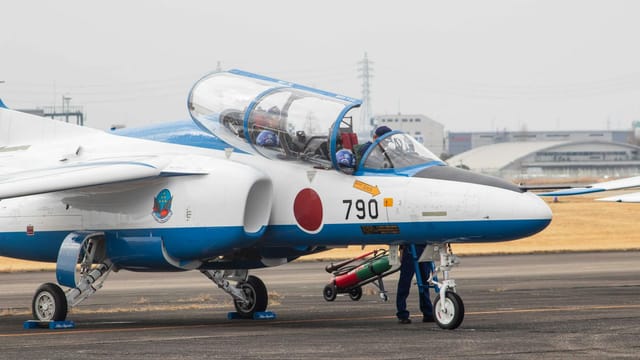
Satellite Images Show Japan’s Izumo-Class Ships Becoming Carrier-Capable — A Regional Turning Point
Satellite imagery through November 2025 shows visible progress in Japan’s retrofit of its Izumo-class ships to operate F-35B fighters, with bow reshaping and hangar upgrades under way. Tokyo plans to complete the conversions by fiscal years 2027–2028, a move that enhances U.S.-Japan interoperability but has drawn strong objections from Beijing, which frames the changes as a dangerous turn toward re-militarisation.